Standardized Monitoring for Climate and Biodiversity
A Sentinel Site is a property or other geographic area where long-term, standardized SSN monitoring and data protocols are being implemented, and instrumentation is installed and maintained to accomplish climate and biodiversity monitoring goals.
Monitoring Protocols
Sentinel Site monitoring protocols are based on the California Environmental Monitoring and Assessment Framework (CEMAF), which was developed by California Department of Fish and Wildlife (CDFW) Cannabis Program staff in response to increasing concerns regarding the impacts of land use change in California.
Following these protocols, every Sentinel Site encompasses at least four wildlife monitoring plots and ideally one weather station for climate monitoring and one Motus station to track movements of highly mobile species. Wildlife monitoring plots include the following instruments:
- Two sound recorders, targeting birds, bats, and other vocalizing animals
- One trail camera, targeting medium to large mammals
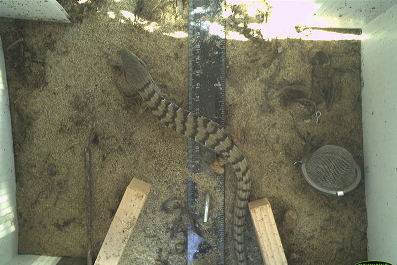
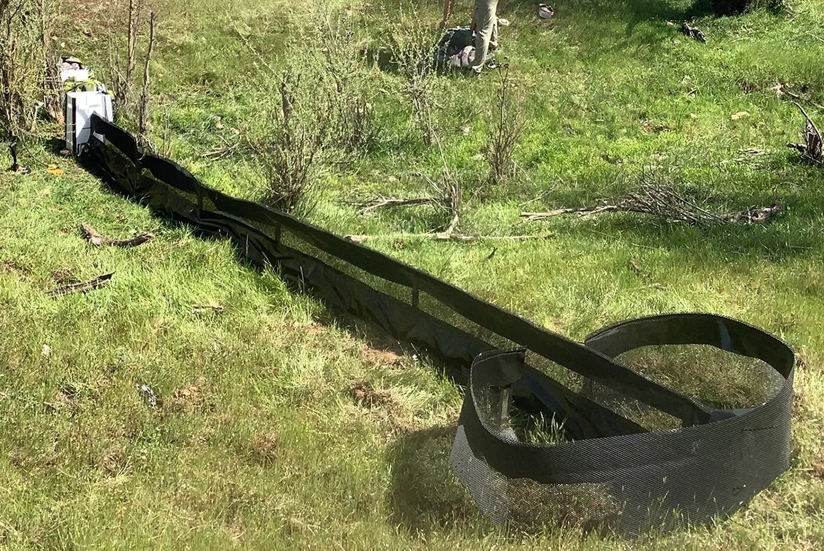
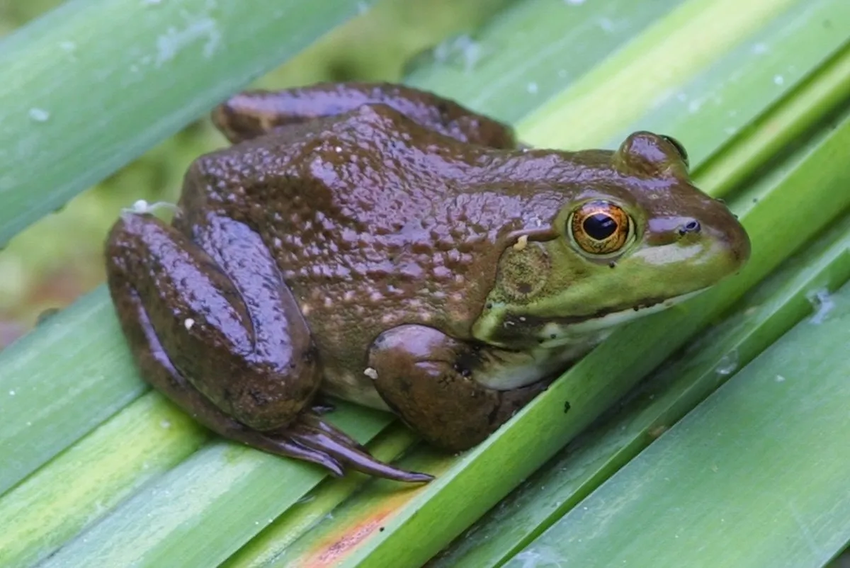
- One downward-facing camera with drift fence, targeting small animals
Detailed SSN protocols are kept up to date within the Sentinel Sites for Nature storymap collection.
Data Access
In addition to collecting data following consistent protocols, the SSN seeks to create centralized repositories for data storage and access to maximize utility, and to create accessible long-term biodiversity and climate datasets that inform conservation and management decisions. This page will be updated to provide access to SSN data as it becomes available, as well as SSN-derived products.
Below is a list of the repositories that currently house the data collected at existing Sentinel Sites.
- Camera data: Wildlife Insights
- Sound recorder data: NABat (ultrasonic data) and the Wildlife SoundHub (in development)
- Motus wildlife tracking data: Motus.org
- Weather station data: Dendra.Science